Best Hikes near Atlanta for 2026
From a BeltLine stroll to a granite summit and a north Georgia waterfall, thirteen trails that show how much wild ground sits within a morning's drive of the city.
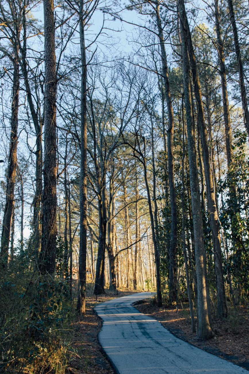
The first person you notice on a Saturday morning at the Eastside Trail, one of the best hikes near Atlanta, is usually not a runner. It is the guy in the Morehouse cap walking a very patient dog, nodding at everyone he passes like he is the mayor of the asphalt. Behind him comes a stroller convoy, then a cyclist who has clearly never heard of a bell. By nine, the light is coming through the pines along the old rail corridor and the whole city feels like it has agreed to go outside at once. That is the moment you realize Atlanta is a forest that happens to have a skyline, and the best of them start closer than most people think.
This guide runs the way a native would plan a weekend: first the trails you can reach without ever leaving ITP, then the close-in parks and preserves that still count as a short drive, then the farther state parks and mountains OTP that deserve a full day and a cooler of something cold. Traffic is the organizing principle here, so each stop comes with a sense of direction and rough drive time. Check current hours, fees and trail conditions before you go, because parking charges and closures shift more often than the trails do.
The Best Hikes Near Atlanta Without Leaving the City
Some of the best hikes near Atlanta are not hikes in the strict boot-and-pack sense. They are long, shaded, surprisingly wild walks stitched through neighborhoods where the Black cultural capital of the South lives its daily life. Treat them as the warm-up, or as the main event on a day when the MARTA train is easier than the Connector.
Atlanta BeltLine Eastside Trail
The BeltLine is the spine of modern Atlanta, a former rail loop turned into a paved path that links Old Fourth Ward, Inman Park, Reynoldstown and beyond. The Eastside Trail is the most famous stretch, running from Piedmont Park south toward the Krog Street area and past murals, patios and a steady parade of people-watching. Go early on a weekday and you will hear birds over the traffic hum; go on a weekend afternoon and you are joining a festival with a surface. Insider tip: walk it north to south and let the food halls and breweries along the way be your finish line rather than your starting point, so your legs are tired before the snacks are tempting.


For a longer day, link it with the Westside stretch toward the old mill neighborhoods. The whole loop is still a work in progress, so check the current map to see which segments connect. If you want to pair a walk with the rest of the city, the guide to a full day in the city sketches out what to eat and see on either end.
Piedmont Park
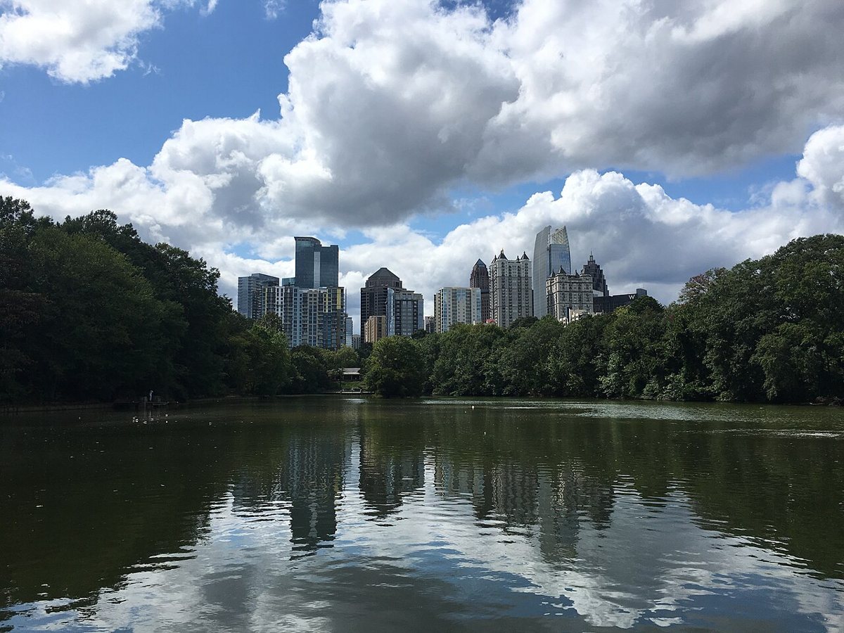
Piedmont Park is the front yard of Midtown, and the loop around Lake Clara Meer and the Active Oval is the closest thing the city has to a daily ritual. The park sits at the northern end of the Eastside Trail, which makes it an easy anchor for a walking day. Climb the gentle rise by the Park Drive entrance for a skyline view that photographers have been framing for decades, and cut through the meadow when the dogwoods and cherry trees bloom in spring. A local trick: the best parking is rarely at the main gates; come in through a side street on a weekday morning or ride the BeltLine in from the neighborhood.

Westside Park at Bellwood Quarry
Here is the one that surprises people. Westside Park, built around the old Bellwood Quarry and a city reservoir, is among the largest parks in Atlanta, and its paths climb a bluff with a long view of Midtown and Downtown. The walking loops are mostly gentle and open, with a hilltop that catches wind and sunrise. It is a good place for the visitor who has been told that Atlanta has no skyline views without a rooftop bar. One thing worth knowing: go at golden hour, when the downtown buildings turn copper, and bring a layer because the open hilltop cools off fast in the fall.
Cascade Springs Nature Preserve
Southwest Atlanta keeps a quiet secret in Cascade Springs, a wooded preserve with creek crossings, stone steps and the remains of Civil War earthworks along its ridges. A small waterfall and mossy rock faces give it a feel of a much more remote forest, even though the neighborhood houses are within earshot on some of the trails. Locals use it for morning loops and a calm Sunday walk. Plan it this way: wear shoes with real tread, because the creek bank can be slick after rain, and treat the old earthworks as the history they are rather than a prop for a photograph.
Close-In Parks and Preserves
Past the Perimeter lines, or just inside them, the landscape shifts from greenway to real woodland. These stops sit about 20 to 40 minutes from most ITP neighborhoods, depending on how Peachtree and the Connector are feeling, and they reward the cheap commute with granite, river and ruin.
Chattahoochee River National Recreation Area: Cochran Shoals and Sope Creek
The Chattahoochee River corridor north of the city is a string of National Park Service units that people on the Sandy Springs and Marietta side use as a backyard. Cochran Shoals is the easy one, a flat riverside loop that suits trail runners, strollers and anyone who wants a long, shaded walk without hills. A short drive away, Sope Creek leads to the stone ruins of an old paper mill beside a rushing creek, with rooty trails and some rocky climbs. The move here: pick Cochran Shoals when you want conversation and Sope Creek when you want a workout, and expect the lots to fill by mid-morning on a weekend.

Vickery Creek and the Roswell Mill Ruins
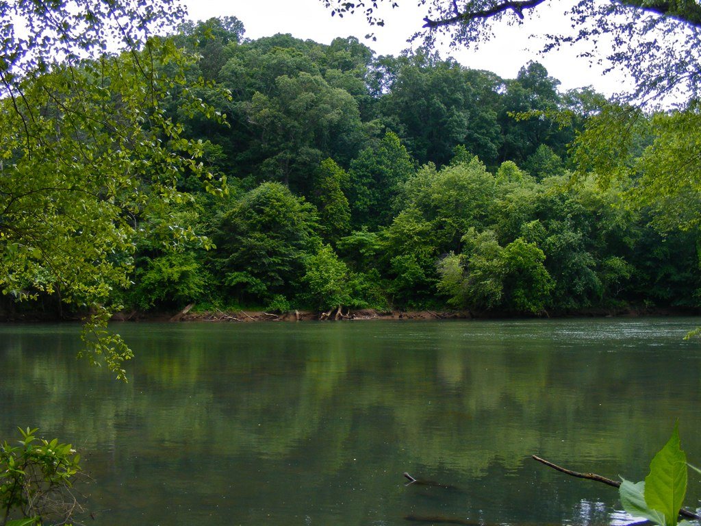
North of the city in Roswell, the Vickery Creek trails loop around a creek and a waterfall below the old Roswell Mill, an area that belongs to the same National Park Service system as the Chattahoochee. The walk is short enough to finish before lunch and scenic enough to feel like a day trip, with stone walls, a dam and a creek valley that gets deep green in summer. Roswell's historic square is a short drive away for coffee afterward. Worth knowing: arrive early on a weekend, and plan to wander the old mill village streets once your boots are muddy.
Stone Mountain Park
Stone Mountain is the monolith everyone knows, a huge granite dome about 20 miles east of Downtown that rises out of the Georgia pine like an unfinished sentence. The walk-up trail climbs the bare rock at a steady, sometimes steep angle to a summit with a view stretching back toward the skyline on a clear day. The mountain also carries a hard history, from its role in the revival of the Klan in the early 20th century to the Confederate carving on its face, and a thoughtful visit acknowledges that rather than skipping past it. A heads-up: go at sunrise or on a weekday, bring plenty of water because the exposed rock turns into a skillet by midday, and wear shoes with grip for the descent.
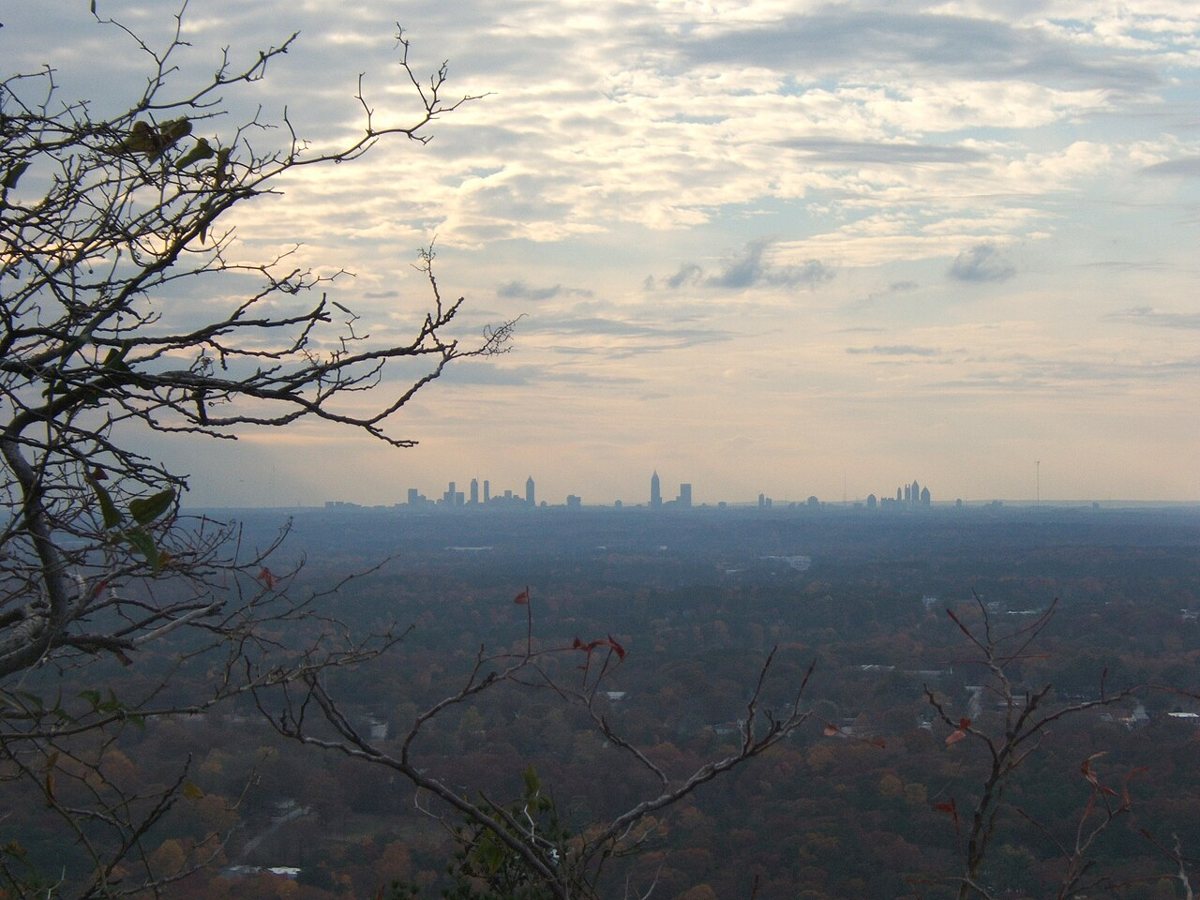

The park has longer wooded trails around the base for a quieter outing, including a loop that circles the mountain, which is a good choice when the summit crowds are heavy. A parking fee usually applies, so confirm the current rate at the gate.
Arabia Mountain
Southeast of the city in DeKalb County, the Davidson-Arabia Mountain Nature Preserve is one of the strangest and best landscapes in the region. Bare granite domes rise from the pines, dotted with shallow pools and tiny plants that bloom in a flush of color in spring. The trail across the rock is marked by stone cairns, and the feel is closer to a high desert than a southern forest. Do this: visit in early spring when the pools hold water and the little wildflowers are blooming, and stay on the marked route to protect the fragile plants in the rock depressions.
Panola Mountain State Park
Not far from Arabia, in Stockbridge south of the city, Panola Mountain State Park preserves another granite monadnock, with a protected rock outcrop that visitors typically explore on a ranger-led walk. The park also has quieter woodland trails and a path that follows a creek, with plenty of birdlife. It is a smart pick for families and for anyone who likes learning the geology and ecology behind what they are walking over. From experience: check the schedule for guided hikes before you go, since access to the outcrop itself is managed to protect it.
Day Trips OTP
Beyond the Perimeter the hikes get longer, the elevation more serious and the payoff bigger. Plan on 30 minutes to an hour and a half of driving, and leave early enough that you are not fighting I-75 or GA-400 on the way home. For a trip that stretches into a full weekend, the guide to a longer day trip is worth a look.
Kennesaw Mountain National Battlefield Park
Kennesaw Mountain, northwest of the city near Marietta, is both a Civil War battlefield and the most popular hiking mountain in the metro. The trail from the visitor center climbs through hardwoods to a summit with a wide look back toward Atlanta, and longer loops connect Little Kennesaw and Pigeon Hill. The climb is real but doable, and on a clear morning the skyline reads like a faint line on the horizon. Local habit: weekday mornings are calm, while weekends bring a long line of hikers and runners, and the battlefield history is worth a stop at the visitor center before you start walking.
Sweetwater Creek State Park
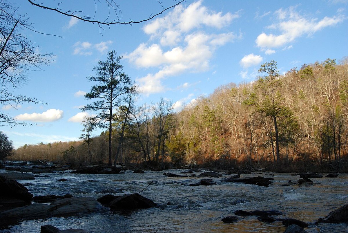
West of the city in Lithia Springs, Sweetwater Creek State Park is the destination for people who want shoals, boulders and a ruin all in one. The path follows the creek to the remains of the New Manchester Manufacturing Company mill, which was burned during the Civil War, and then continues along rushing water with rocky scrambles in places. The mill ruins and the sound of the creek make it one of the best photo walks in the region. If you go: wear shoes you do not mind getting wet and avoid the creek-side rocks after rain, since the stone gets slick.

Amicalola Falls State Park
About an hour and a half north of the city in the Dawson County foothills, Amicalola Falls State Park is home to one of the tallest cascading waterfalls in the Southeast. A stair-heavy boardwalk climbs beside the falls, and trails around the park lead through hardwoods that blaze in the fall. The area is also the traditional approach to the Appalachian Trail, so you will meet through-hikers in spring. One more thing: go on a weekday, since the parking area fills fast on peak leaf weekends, and give your legs a rest after the stairs rather than rushing the rest of the park.
Tallulah Gorge State Park
Farther northeast, about an hour and a half to two hours from the city near the town of Tallulah Falls, the gorge is a deep canyon carved by the Tallulah River, with overlooks and a swaying suspension bridge high over the water. The rim trails give easy views, while the gorge floor is a different matter, with limited access that usually requires a permit and a steep climb down and back. It is the closest the Georgia woods come to a mountain-canyon experience. A note: arrive early to secure a permit if you want the floor, and check conditions first, since water releases and weather control what is open.
Planning Your Hike: Heat, Seasons and What to Bring
Georgia weather runs the schedule. Summer mornings are warm and humid before eight, and by noon the heat index can make a short granite climb miserable, so plan to start at first light and be out by late morning. Fall and spring are the sweet spots, with cooler air, clear skies and the north Georgia color peaking in the mountains in October. Winter brings crisp, quiet trails and long views through bare trees, although the red clay turns to slick mud after a wet week.
- Water, more than you think you need, especially on exposed granite at Stone Mountain and Arabia.
- Shoes with real tread for creek-side rocks and rooty sections.
- Sunscreen and a hat for the open domes, plus bug spray for the river and creek trails.
- A light rain layer, since afternoon storms can roll in quickly in summer.
- A downloaded offline map, because signal drops in the gorges and hollows.
For getting there, plan around the clock. ITP trails are best on MARTA or the BeltLine on weekends, while the OTP parks are worth the drive but not worth sitting in rush-hour traffic on the Connector. Parking fees usually apply at state parks and at Stone Mountain, and many lots fill by mid-morning on weekends, so arrive early and confirm current hours and fees before you set out.
The Point of View
Atlanta gets described as a sprawling city of pavement, and anyone who has stood on a granite dome at sunrise or followed Sweetwater Creek to a ruined mill knows the description is lazy. The woods are the other half of the story, and they are closer than the traffic reports suggest. If you only have one Saturday, spend it on the BeltLine in the morning and Arabia Mountain or Kennesaw by the afternoon, and let the contrast be the lesson. The best hikes near Atlanta are the ones that remind you the city was built on red clay, granite and river, and that all of it is still there waiting for you to put your boots on.